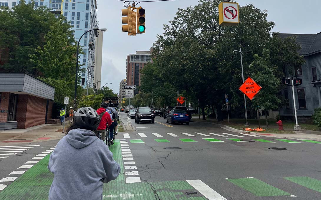
Nice Streets, Mean Streets: Mapping Transportation Accessibility in Southeast Michigan
"Nice Streets, Mean Streets: Mapping Transportation Accessibility in Southeast Michigan" was one of 10 global projects selected by Strava, the popular ride and run tracking app, for its inaugural Metro for Academic Researchers Program. The project leveraged Strava Metro's data to shape the future of active transportation, infrastructure, and sustainability. STPP collaborated with the Program to Educate All Cyclists (PEAC), a nonprofit advocating for transportation equity for Michiganders with intellectual disabilities. PEAC teaches students to identify safer "cognitive accessible roads" by classifying them as "mean" or "nice." Using Strava's data to identify popular commuting routes, PEAC students visited these areas to assess their cognitive accessibility based on their experiences walking and biking there. These insights into high-use routes will help identify areas in need of safety upgrades. The results will assist PEAC's advocacy efforts for improved accessibility on commonly used streets, and demonstrate PEAC students' expertise in evaluating streets' cognitive accessibility.
To read the press release, please click here.
To watch PEAC riders discuss their perceptions of bike routes, please click on the street names below:
Washtenaw Avenue (Mean)
First Street (Nice)